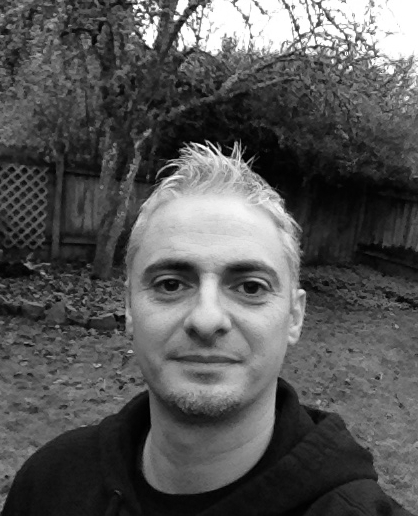
I am an archaeologist and cartographer. I use GIS and web development to visualize historic datasets through web apps and interactive maps.
In my work as a professional archaeologist, I have specialized in the use of GPS, GIS and photogrammetry software, applying this knowledge to archaeological fieldwork and focusing on the integration of different data sources in GIS environments.
I received formal training in GIS, cartography and web development at Oregon State University, where I obtained an MS in Geography and a Graduate Certificate in Geographic Information Science.
In recent years my work has focused on Digital Humanities projects in collaboration with cultural institutions and universities. As a freelancer I create geo-visual web applications using exclusively open source software.


